
Hōkūleʻa Update | February 24, 2017
Blog by Nāʻālehu Anthony
Aloha nui kākou,
Big day today.
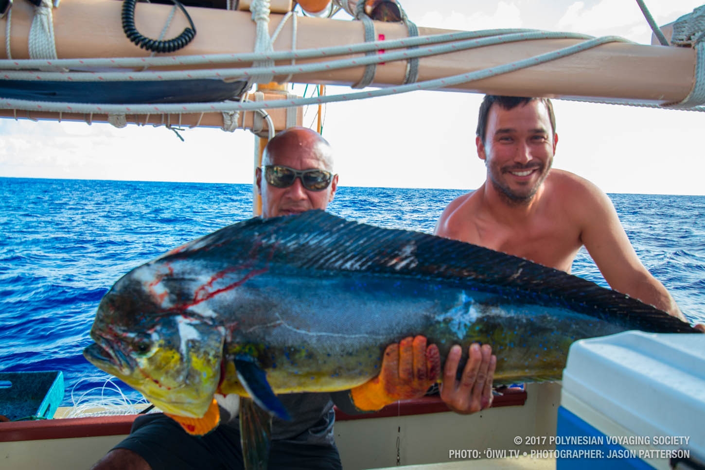
We caught a pretty big ʻono this morning. It fed the crew for 3 meals, and there’s still some left for the midnight snack. Russell caught it in the early morning after having the lines in the water for about 2 minutes. Needless to say, catching this fish brings our average way up from where it’s been so far on this leg. Maybe we’ll be lucky enough to catch more fish as we get closer to land.
But perhaps bigger than that news, today we turned west along what we think is about 26.30o south latitude. Our calculations say we are within about 200-300 miles of Rapa Nui, and we have begun the search for it – please continue reading below for a description of the search for the island.
Aloha nui,
Nāʻālehu
——-
The Search
We know we are close. We knew that this would be the hard part. As much work as it has been to get the canoe back here into the Pacific, these last few days on the cusp of entering the triangle will be the hardest part. We are looking for two targets – the first is an uninhabited reef system and set of rocks that are roughly 200 miles to the east of Rapa Nui and a little north. We were hoping to see the reef this evening, but that did not happen. Another way for us to find that first target is a light on one of those rocks that pulses every 12 seconds, which we are hoping to see tonight. The second target is Rapa Nui itself, which anchors the southeast corner of the Polynesian Triangle. This island is one of the smaller stand-alone targets in a vast region of otherwise empty sea.
The ability to find this island means that the navigation has to be more precise than usual. To illustrate this point, let me explain a larger target. If we were sailing to Hawaiʻi, for example, we would be looking for Mauna Kea, which at well over 10,000 feet high, stops clouds and creates weather patterns that can be seen for hundreds of miles. Also, the latitude band that spans from South point on Hawaiʻi Island to Kauaʻi is 18.9o to 22.5o North latitude, a band of roughly 3.5 degrees. Each degree is equivalent to about 60 miles; you get the idea that you have hundreds of miles of potential in which to find the islands of Hawaiʻi If you can sail into that band with confidence, there is almost no way to sail through the island chain without seeing an island.
We are fairly certain that our current location is within the latitude of 26o to 27o south – and so we made the turn, and now begin the search. The target of Rapa Nui is about the same size as Kahoʻolawe and not even 2000 feet tall. Its viewing distance is a 30-mile radius or a 60-mile diameter. This means that we have to sail by it within 30 miles in order to see it, and as I mentioned before, in the navigation world in which we practice, one degree is a very tight tolerance. If our timing is wrong and we enter into the 30-mile limit at night, there is a chance we would go right by it and not know.
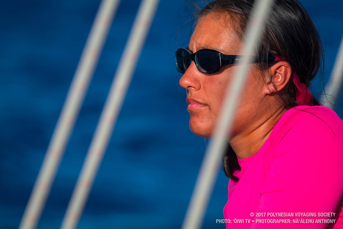
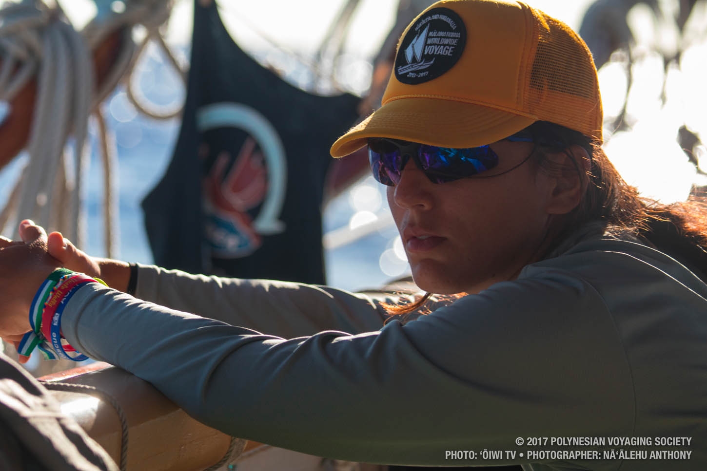
Yet the mood on board right now is light and happy. As a collective led by a team of young navigators, this crew has put us in a great position to see success. Seeing land come from the sea never gets old or boring, every time I have been witness to this process it has been a deeply humbling experience. Humbling that those who came before us did this with stone-aged tools and developed the technologies to figure it all out, well before the Western world dared to leave the sight of land. And so, for what we think is a just a little bit longer, we wait and we work reach our goal and bring forward with us the brilliance of our ancestors.
Patiently standing by 72,
Nāʻālehu


Hōkūle‘a Homecoming – Save the Date
Sign up for updates and be the first to know as we continue to detail homecoming festivities during the week of Hōkūleʻa’s homecoming
on June 17, 2017!
