
Hikianalia Update | Sep 9, 2018: Leg 1 Final Update
 Hikianalia Update by Hye Jung Kim
Sept 9, 2018 Report
This will serve as our final update and navigation report for the leg one crew aboard the Alahula Kai o Maleka Hikianalia California Voyage – it has been a pleasure serving as the canoe’s communications officer and sharing with you the daily in-and-outs of our journey.
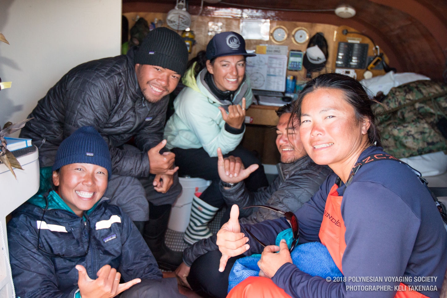
Today served as an important moment of truth for our four apprentice navigators – who by the way come from four different countries: Tamiko Fernelius (Japan), Hye Jung Kim (Korea), Arii-Matatini Tamaehu (Tahiti), Kalani Asano (US) – we were asked by Kapena Lehua to come to a consensus of when we calculated being within 75 miles of our destination. Drum roll please… when we decided to call it, we ended up being 28.7 nautical miles from the bullseye!

The navigation team this morning after realizing we came within 28.7 nautical miles from our target.
Our nav team is super thankful for Lehua and all of our crew for supporting us in our learning. And also heartfelt mahalo to all of our followers for supporting us, especially our ʻohana.
During out 6 p.m. – 10 p.m. watch, we headed toward the star house ʻĀina Malanai averaging at 8 knots to cover 29 nautical miles east and 12 nautical miles south. There were naiʻa (dolphins) that greeted our crew at night and they glided through the water and lit up the ocean as well as our mood.
During our 10 p.m. – 2 a.m. watch, we held Noio Malanai averaging 6 knots to cover 20 nautical miles east and 13 nautical miles south. During our watch, we used the star Hikulima (Epsilon Ursae Majoris) to recheck latitude and measured 4 degrees from the horizon. With Hikulima’s declination at 56 degrees, we get 90-56 = 34 degrees and then adding 4 degrees gives us 38 degrees. So for our latest latitude check, we confirmed that we are at 38 degrees. Our 10 p.m. – 2 a.m. watch also saw naiʻa!
During our 2 a.m. – 6 a.m. watch, we held ʻĀina Malanai averaging 6 knots. So we covered another 22 nautical miles east and 9 nautical miles south.
After our 6 a.m. watch, we met with Kapena Lehua and thought we were pretty close to where we wanted to be. Lehua had picked for us to be 75 miles west of the lighthouse of Point Reyes and asked us what the radius we would like zero in on. We asked her if we could have a 30 nautical mile radius to give us a degree (60 nautical miles in diameter). Once all four apprentice navigators agreed that we were in the 30 nautical mile radius of our “destination” (75 miles west of the lighthouse of Point Reyes) Captain Lehua checked our automatic identification system and notified us that we were 28.7 nautical miles away!
We will continue to hold ʻĀina Malanai until sunset and then we will make our way towards land. We are projected to have a vessel come out and guide us in tomorrow morning once we get close enough and make our way towards our point.
This morning, the winds are gusting so we have been traveling quite fast over the last 12 hours. We have reefed the main and taken down the mizzen. Everyone is excited to make our arrival!

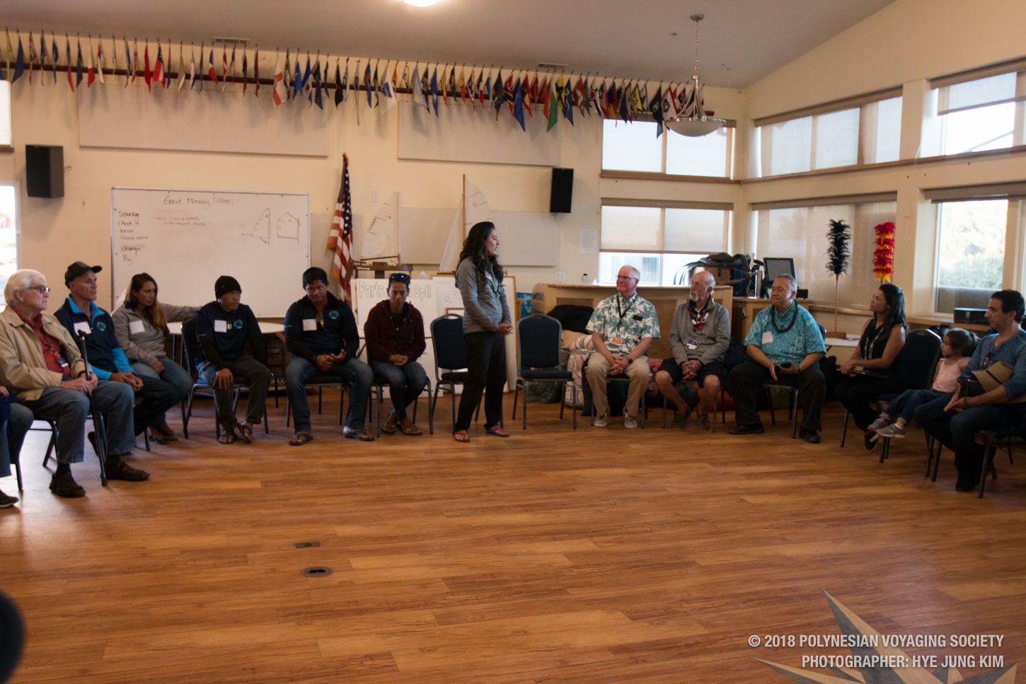
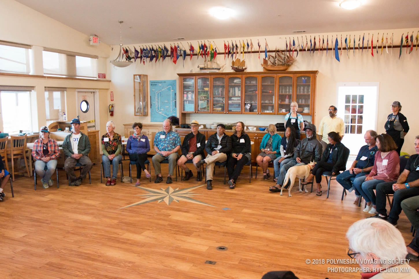
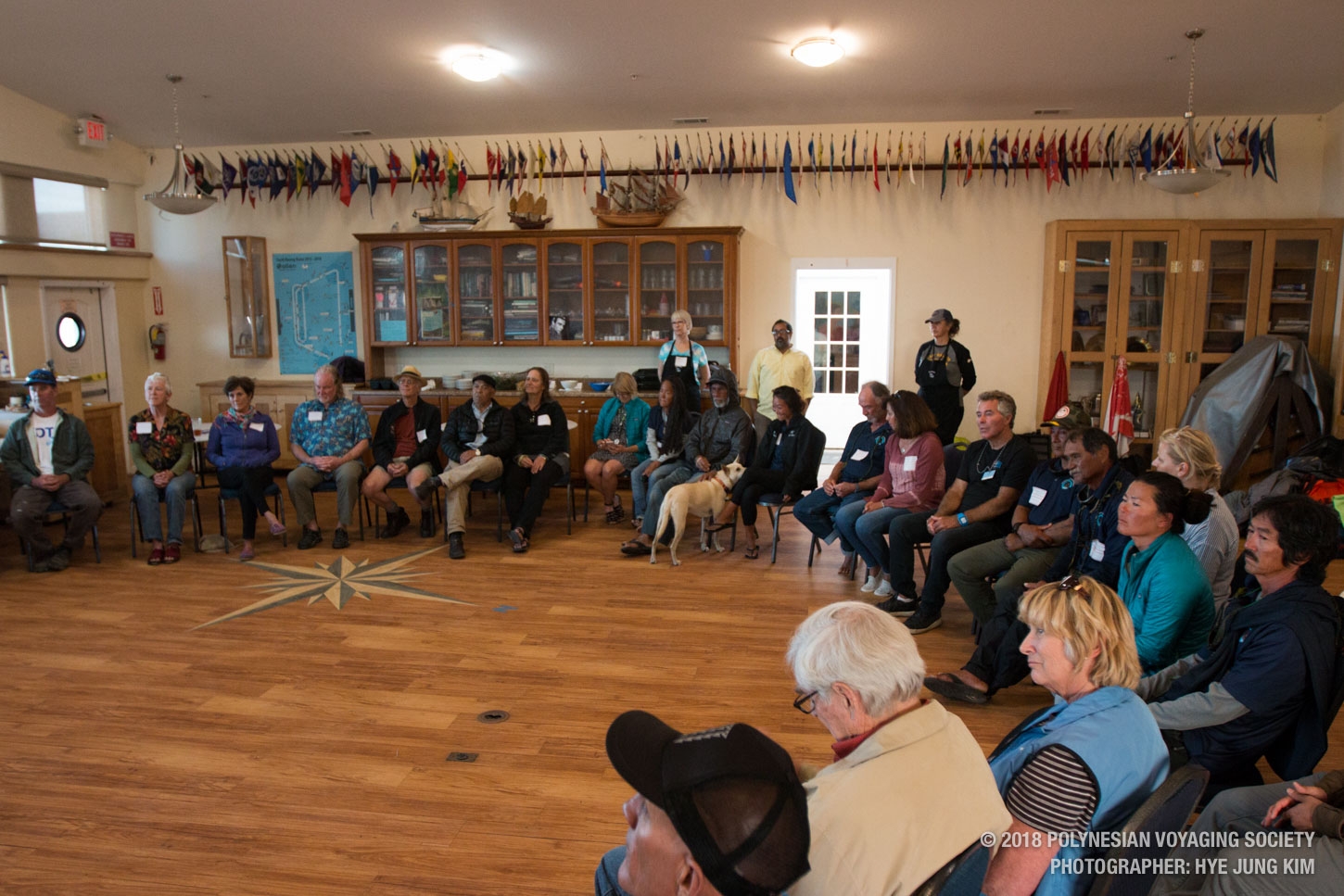
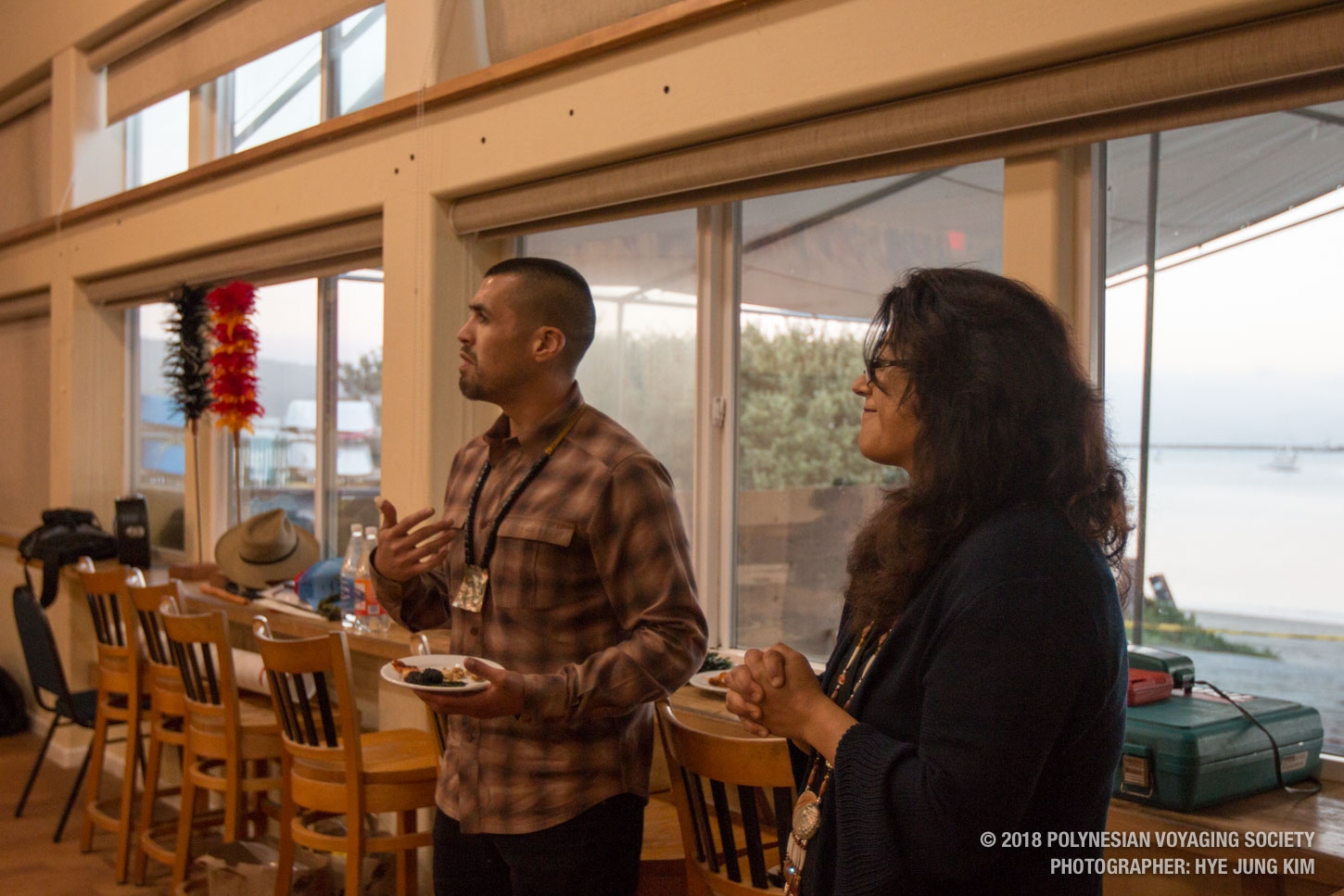
Sept 9 Photo Gallery
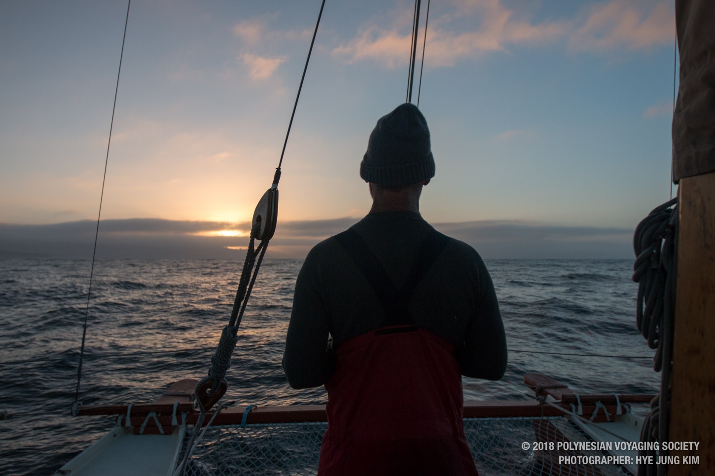
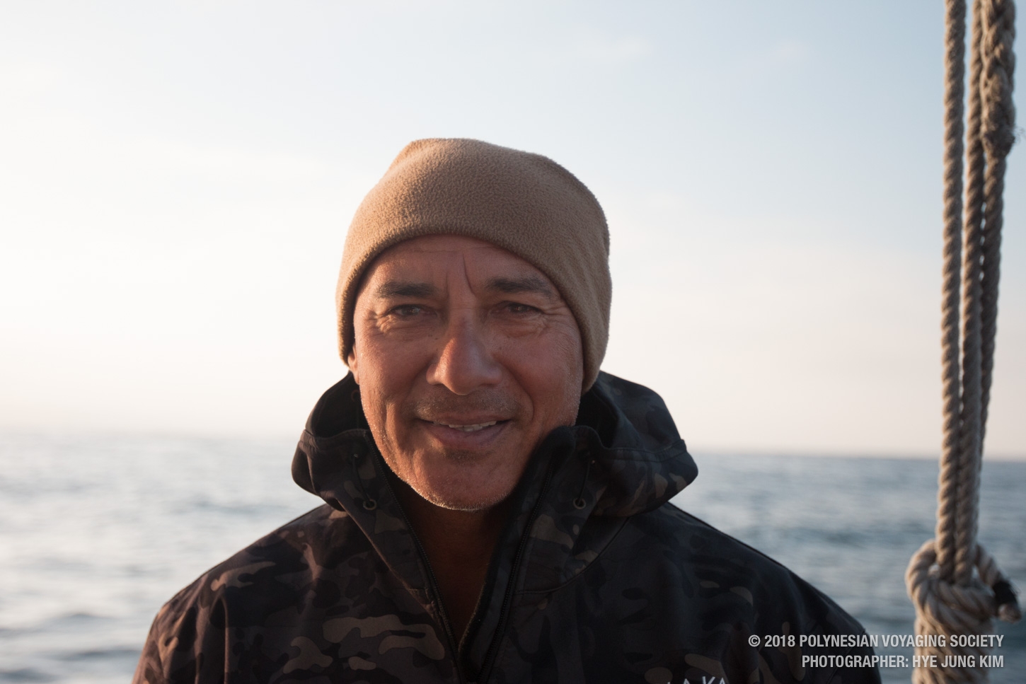
The day never quite warmed up today. Crew members in Jackets and foul weather gear.

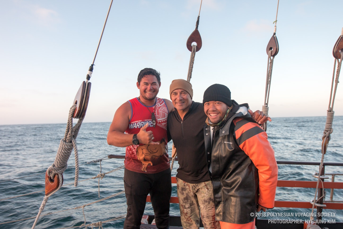
Started as strangers, now becoming brothers.

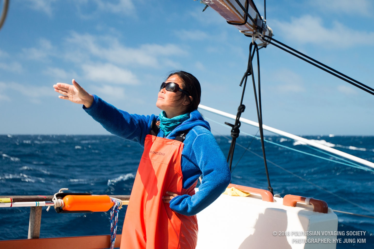
Timi on watch

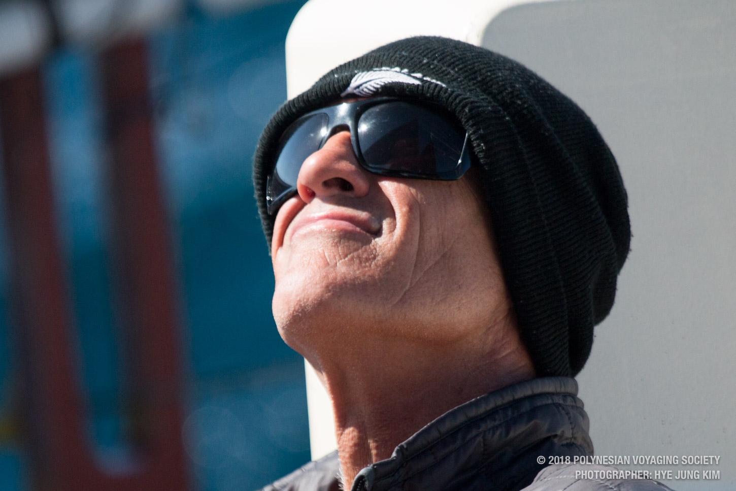
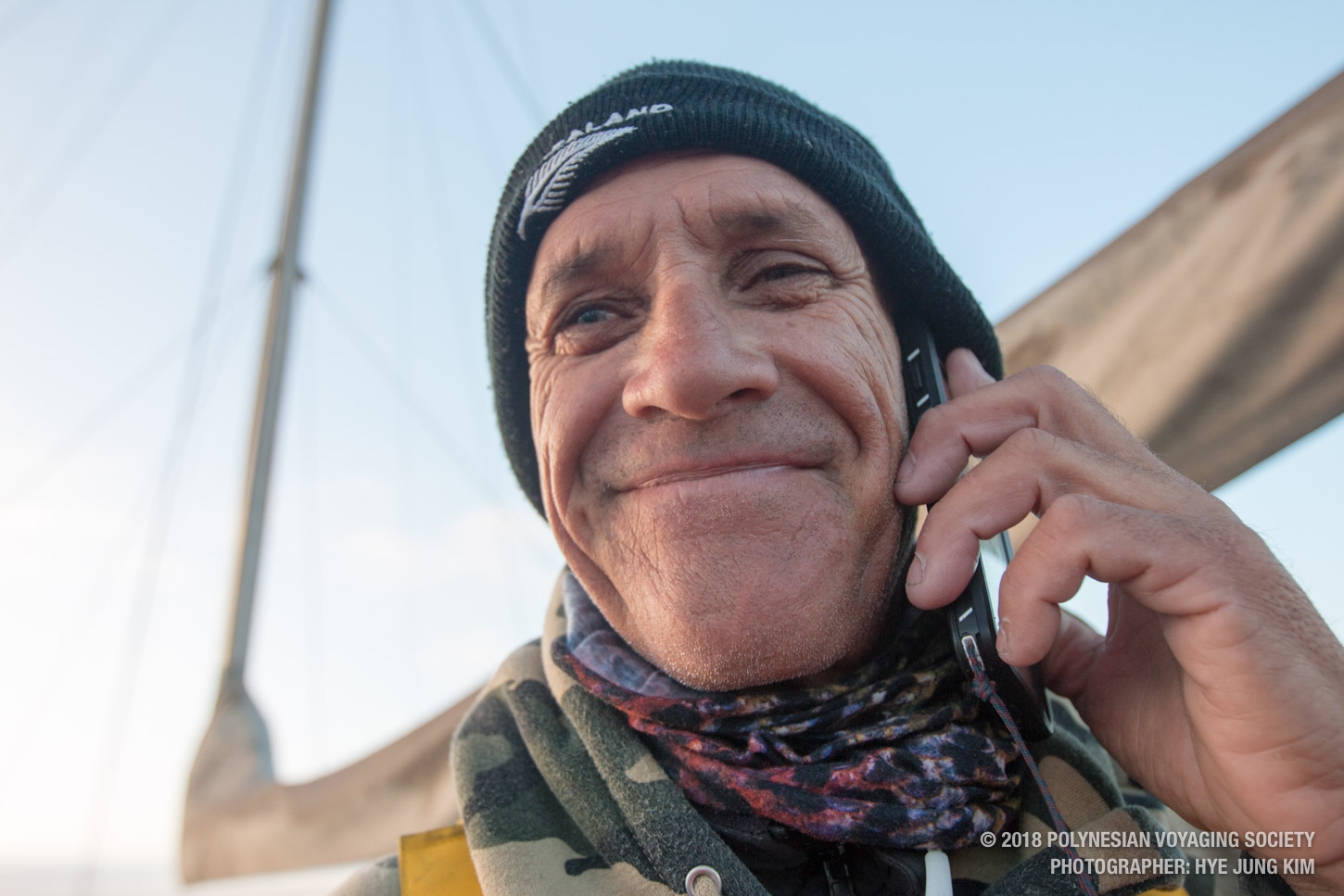
ʻAnakala Kalau enjoying the sun!

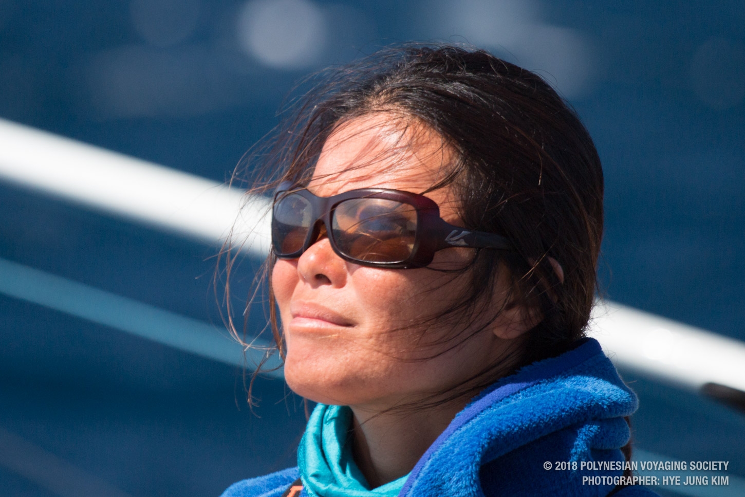
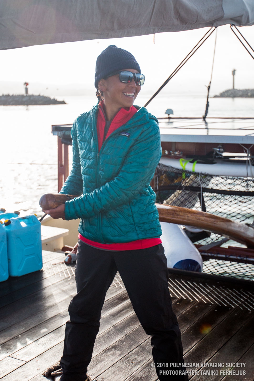
Tamiko!
The navigation team this morning after realizing we came within 28.7 nautical miles from our target.

Watch Captain Kimo and crew member Keala this morning

Apprentice navigator Tamiko checking heading


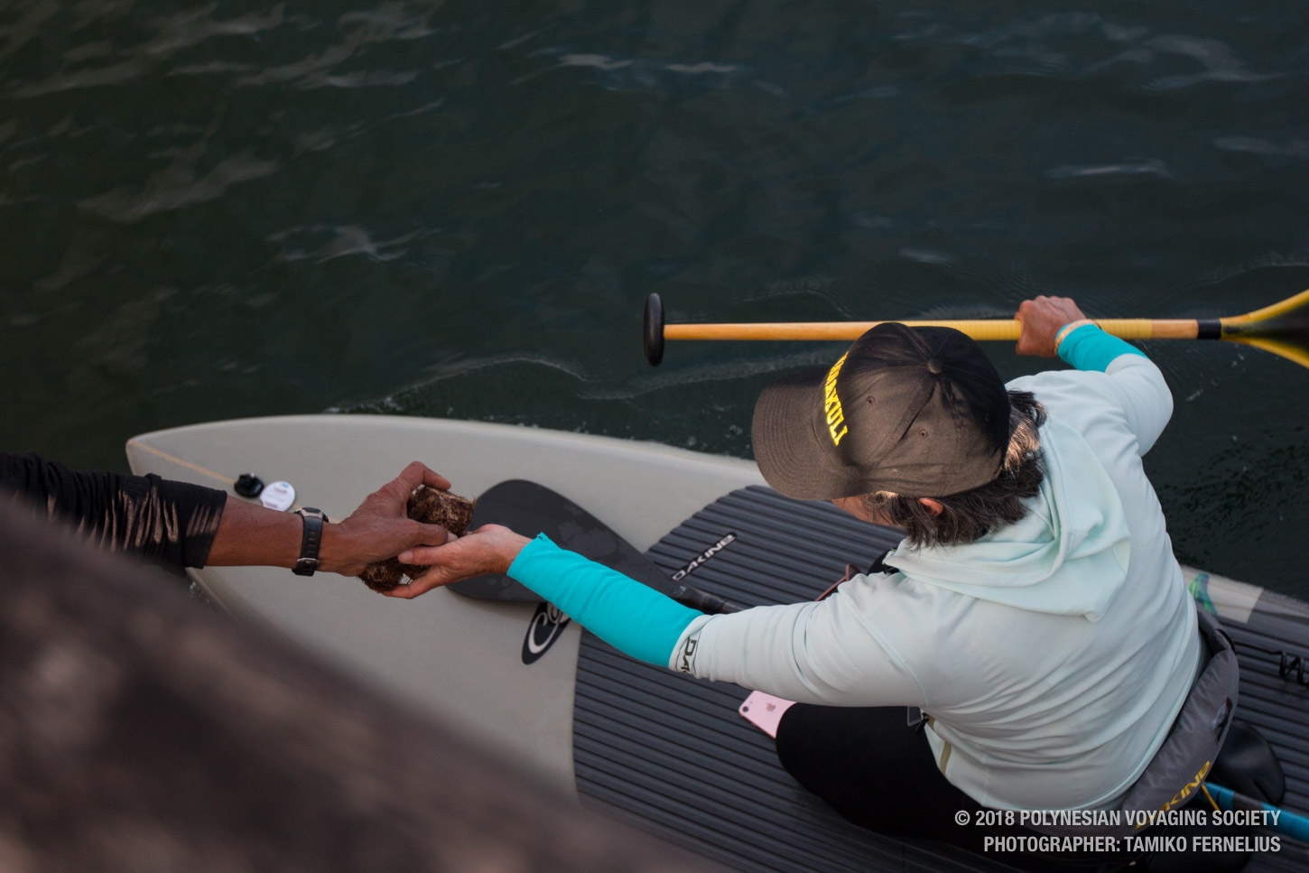
Sept 10 Photo Gallery: California Landing


SB 72,
Hye Jung
“Hikianalia was built by the Okeanos Foundation”

We’ve got new gear in the PVS Store!